Aerial Drone Mapping & Modeling Solutions With ESRI ArcGIS
What Will Your Drone Do For You?
Drones are an emerging technology with the potential to revolutionize how we work across many industries. The advantages drones provide in data collection make them not only perfect for observing the surface of the earth, but also the atmosphere.
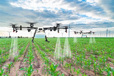
Precision Agronomics technology helps to decrease cost, increase yield, & ultimately increase the return on your investment.
Drones give famers the convenience of being able to inspect crops with more frequency to pinpoint problem areas in the field & remedy diseases/defects before they become costly.
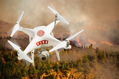
Emergency Services
There have already been success stories that credit drones with playing a large role in search and rescue missions.
Drones don’t get tired or distracted. In law enforcement, drones play mainly a surveillance role. They are the eyes for monitoring infrastructure and pursuing suspects.
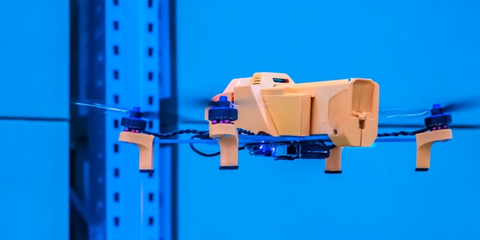
Geospatial Services
Geospatial technology is what gives UAS the ability to be autonomous.
The convenience of inspecting vast infrastructure without significant time & manpower invested is enough of a reason for surveyors, construction firms, and power companies to deploy drones.
HASSLE-FREE, AFFORABLE SOLUTIONS FIND OUT HOW TO GET STARTED NOW
Chetu’s ESRI ArcGIS Custom Drone Mapping Solutions allow users to visualize and transform location data solve problems, identify patterns, trends, create an as-built environment, understand the big picture, and share with others.
Suggested Reading
5 Ways Drones Are Disrupting The Construction Industry (More Than Just a Toy)